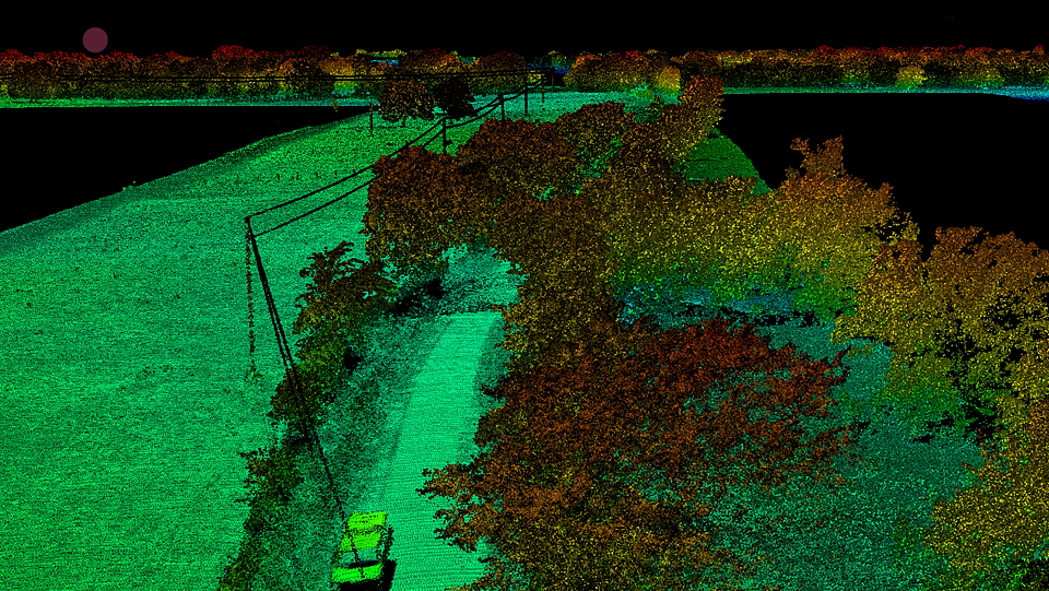
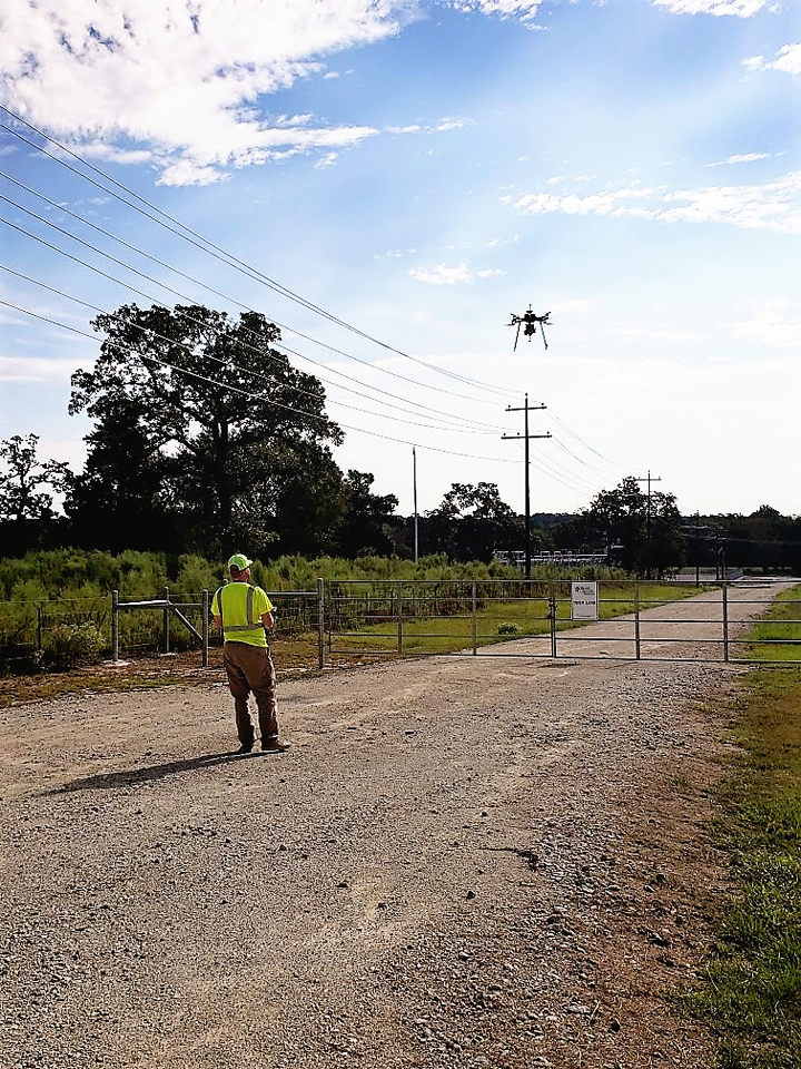
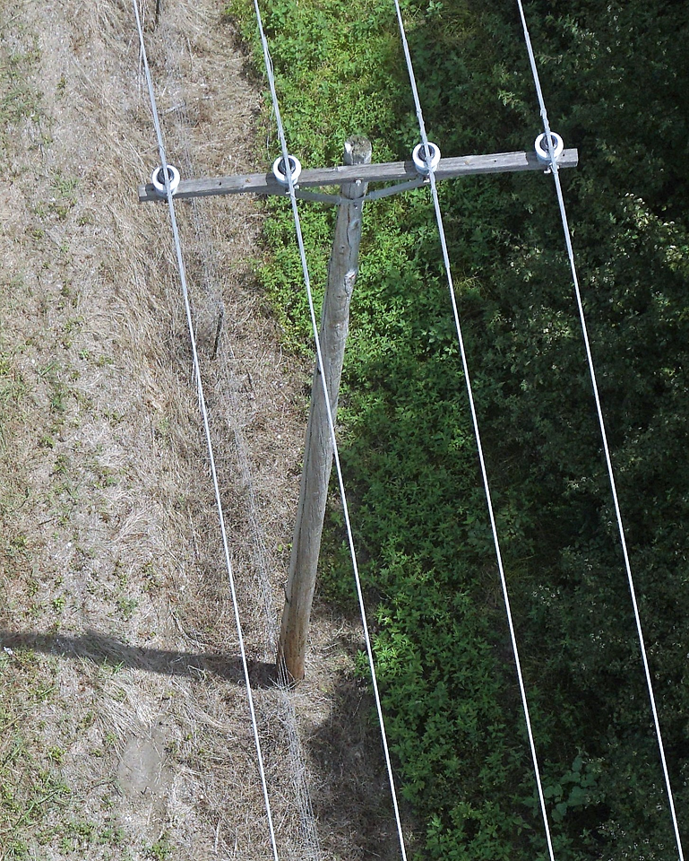
Our unmanned aerial vehicle (UAV) flight team is busy collecting LiDAR and imagery for a distribution system improvement project.
The LiDAR data seamlessly integrates into our PLS-CADD software to expedite the engineering process. UAVs allow us to collect data more efficiently and more accurate than traditional means