Analysis & Design
McCord Geospatial Services has assembled a team of professionals over the years for analysis and design that is second to none. From planning design to as-built analysis, our in-house development of software and data integrations gives our data the tailored experience you require for any job.
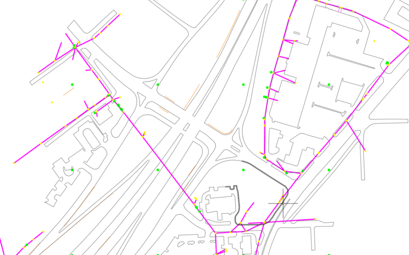
- PLS-CADD Modeling
- ESRI
- Data Integration Solutions
- Asset Management Solutions
- Research & Development
- Sample Data
PLS-CADD Modeling
From our experience with power line design and LiDAR, our team of PLS-CADD technicians has developed many different procedures and techniques to produce the highest quality products and services to our clients. MEI utilizes our in-house LiDAR data to model existing terrain, structures, conductors and aerial obstacles. These models can be used for:
- Engineering Models
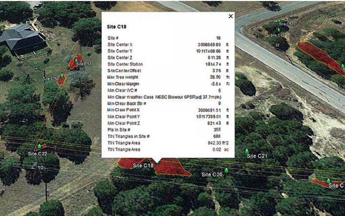
- Line Clearance Analysis
- Communication Joint Use Audits and/or Permits
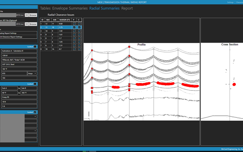
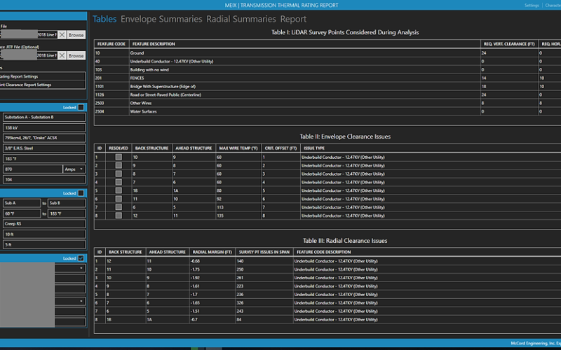
- Thermal Rating Analysis
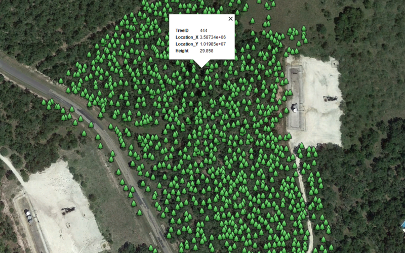
- Vegetation Management
- As-Built Surveys
- NERC Compliance Analysis
ESRI
- App Development
- On-site data storage or cloud based solutions
- Integration with many different GIS and design software
- Data Collection Solutions

Data Integration Solutions
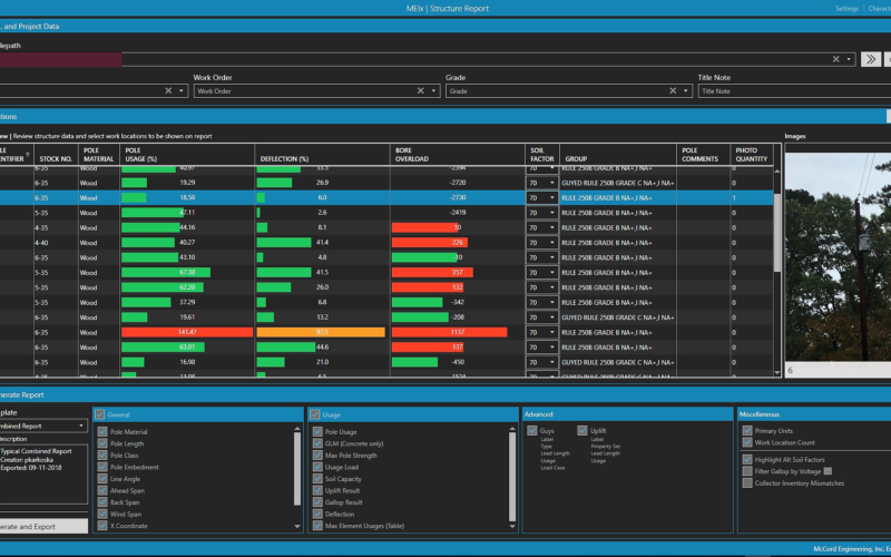
As technology advances, the issue of large data continues to grow. Emerging technologies gather valuable data at an alarming speed, capacity and variation. Our team at McCord Engineering has developed techniques to collect the pertinent information from this data and deliver it in a manageable format to our clients. We work closely with our clients to assure the integration of the data to the required software.
Asset Management Solutions
Do you need help managing your utilities assets? Are you still relying on labor-intensive paper maps, handwritten forms, Excel spreadsheets and emails? McCord Engineering can provide a reliable asset management system, complete with customized software that can generate a broad array of data types and implement them directly into your existing workflow. Regardless of the GIS environment, this data can include maintenance plans, vegetation management and even work order generation, just to name a few. By automating your asset management and letting the data handle itself, you save valuable time and effort.
Research & Development
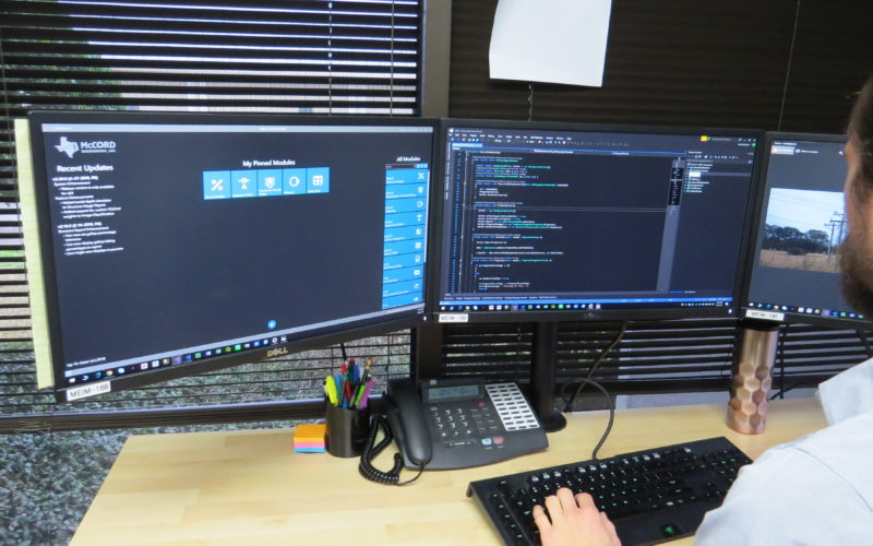
Our team of skilled professionals strive to push the limits of today’s technology by utilizing the latest cutting-edge systems and equipment. We remain in close communication with many of our software vendors to ensure their systems are built and maintained with your interests in mind, while also developing our own utilities in-house to keep our workflow operating efficiently. A dynamic combination of expert-tested, custom-built hardware and industry-leading software advance our methods and practices to constantly keep us ahead of the competition.

For more information about Analysis and Design, contact Rex Woods.
OFFICE LOCATIONS


